Take the Scenic Route in Middleton
With 27 miles of multi-use trails, Middleton offers something for every outdoor enthusiast. Discover Middleton by trail.
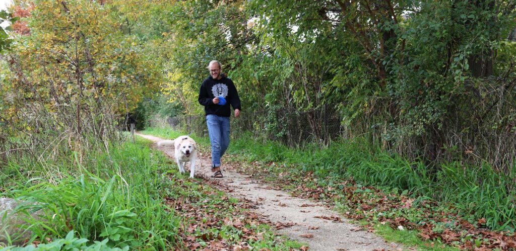
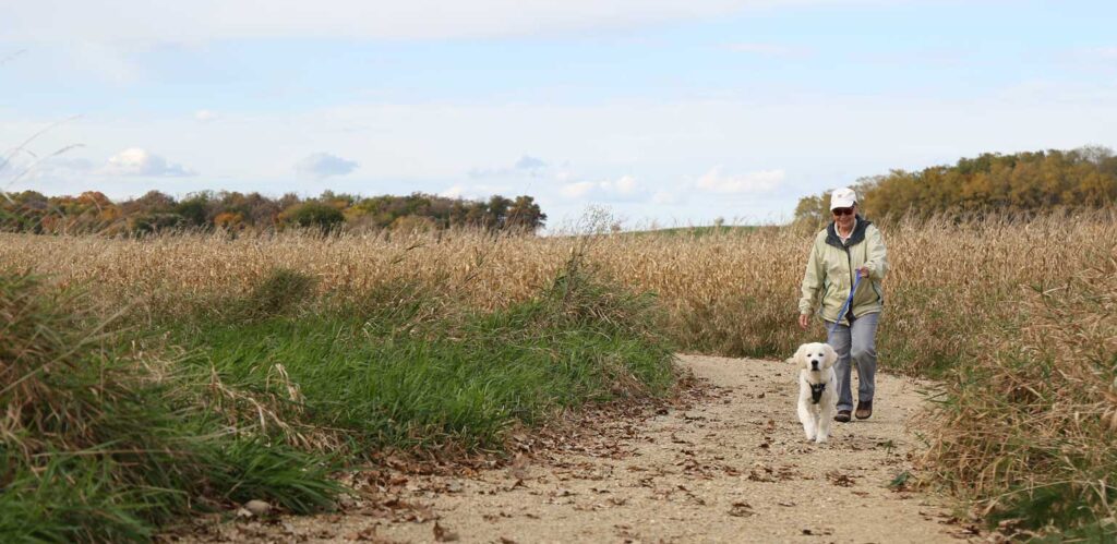
Middleton by trail offers some of the best sights for every outdoor enthusiast. From lush, wooded forests to streaming rivers, to an expansive lake, to hills with spectacular views, everything you love about nature isn’t far away when in Middleton. Discover some of our favorite segments of Middleton’s 27 miles of multi-use trails below.
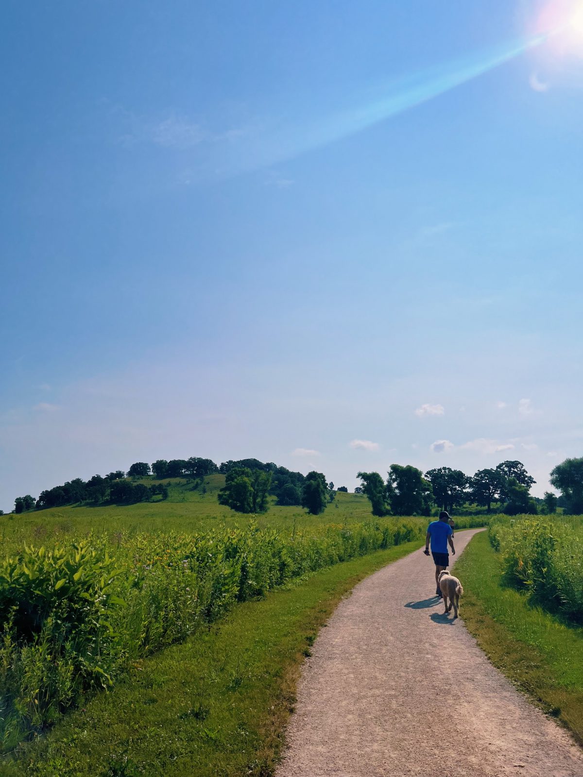
Pheasant Branch & Fredrick’s Hill Loop:
Distance: 4 miles
Parking and trail access: Orchid Heights Park (3960 Valley Ridge Road), Historical Marker #398 (4864 Pheasant Branch Road) or Pheasant Branch Conservancy Parking Lot (3819-3829 Pheasant Branch Road)
This loop covers some of the most scenic spots in Pheasant Branch Conservancy, including wooded forests, wetlands and prairies. The path winds through sections of boardwalks, bridges and outlooks. Users also have the option to veer off the main trail to hike up Fredrick’s Hill, which offers spectacular 360-degree views of the area, including a Native American effigy mound and the Wisconsin State Capitol.
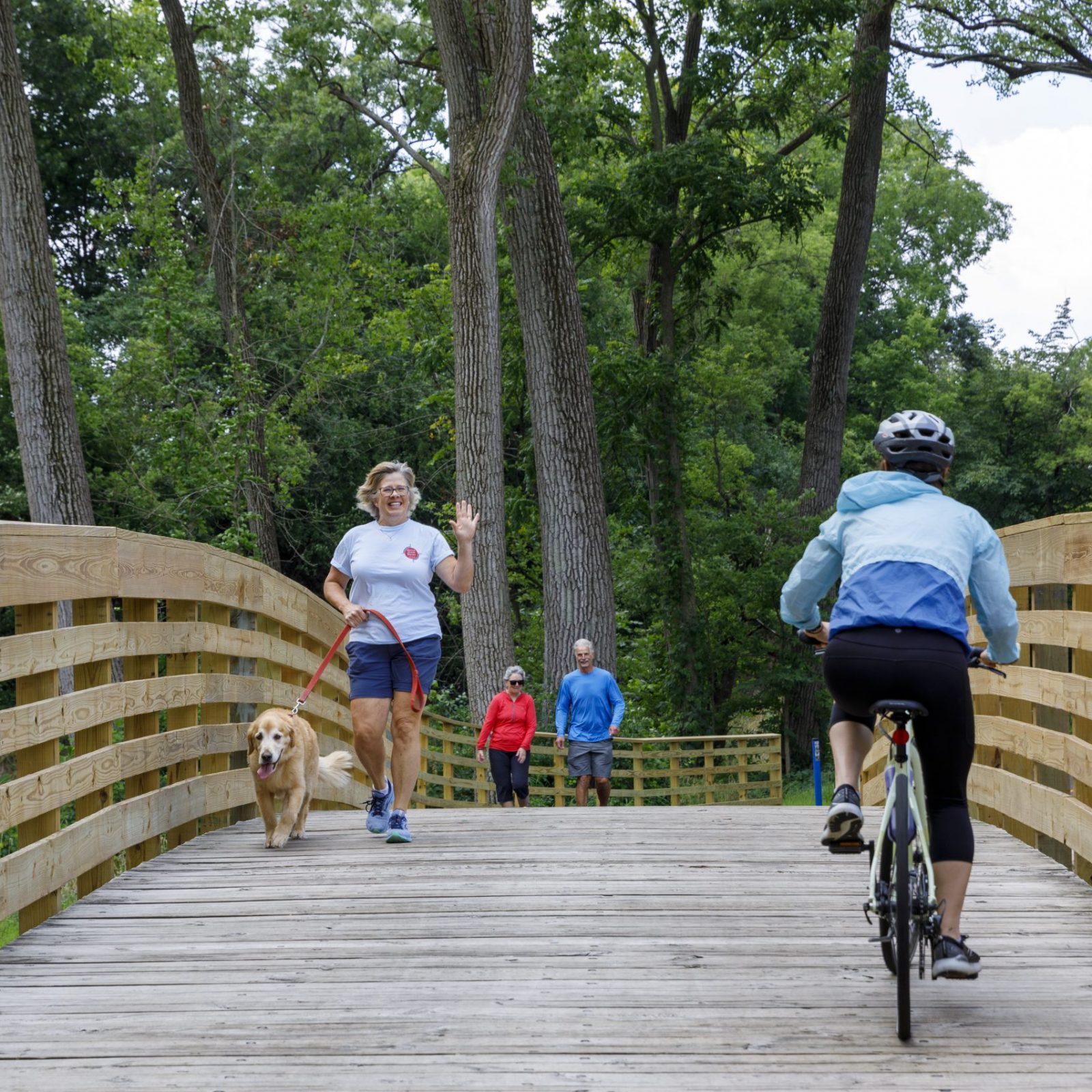
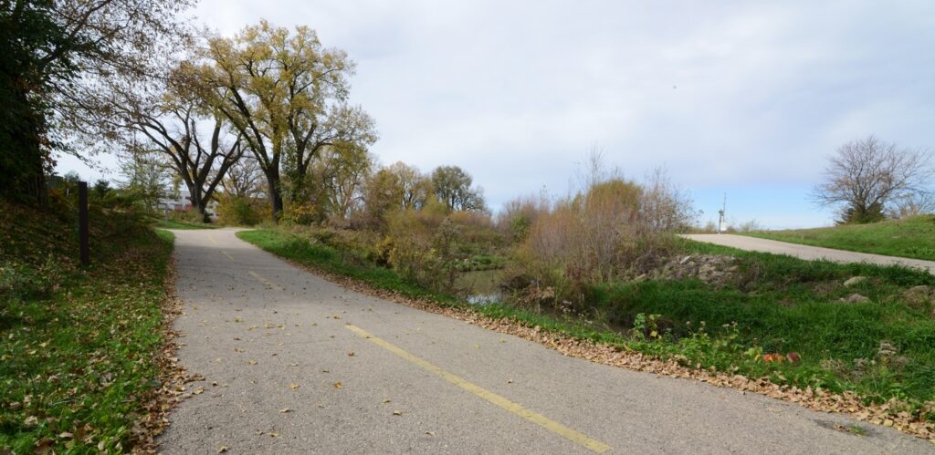
Pheasant Branch Creek Corridor Trail:
Distance: 1.4 miles
Parking and trail access: This trail has various access points. Enter from the west off Parmenter Street (just north of the roundabout, the trail passes under Parmenter), east off Century Avenue and Branch Street, or mid-trail at Parisi Park (2405 Park Street).
This paved, two-lane, multi-use trail runs along a creek surrounded by various large, lush trees that provide ample shade for most of the trail. Also along the trail are several wooden bridges. The Pheasant Branch Creek Corridor Trail was completely renovated and reopened in August 2023.
Tiedeman & Stricker Pond Loop:
Distance: 2 miles
Parking and trail access: There are multiple entrances for both ponds; the easiest way to access Tiedeman Pond is through Woodside Heights Park (7202 Voss Parkway) and Stricker Pond through Stricker Park (7605 Voss Parkway); otherwise, there are multiple entrances off of the side streets surrounding each park.
These two glacial kettle ponds are adjacent to each other and are located just minutes from downtown Middleton. A nature trail circles both ponds; users need to walk along Voss Parkway for one block to get between the two loops. This is an excellent path for walkers and birdwatchers.
North Fork Trail:
Distance: 2 miles
Parking and trail access: Penni Klein Park (8780 Airport Road), Firefighters Memorial Park (3201 Pleasant View Road) or at the intersection of US Highway 12 Path, Pheasant Branch Creek Corridor Trail and South Trail A.
This paved greenway takes users by two parks and a scenic pond. At the middle of the trail, just south of Firefighters Memorial Park, veer off to another trail, Hidden Oaks Trail, and after less than a quarter of a mile, Hidden Cave Cidery will be on the left. Users can continue on US Highway 12 Path, Pheasant Branch Creek Corridor Trail or South Trail A at the eastern edge of North Fork Trail.
South Fork Trail:
Distance: 1.7 mile
Parking and trail access: Parking at Quarry Skate Park (7701 Terrace Avenue) on the east and Greenway Station on the west
This trail winds east to west and connects downtown Middleton to Greenway Station and Pleasant View Golf Course. If staying at a hotel in Greenway Station, this two-lane paved trail allows easy access to downtown Middleton via bike or foot.
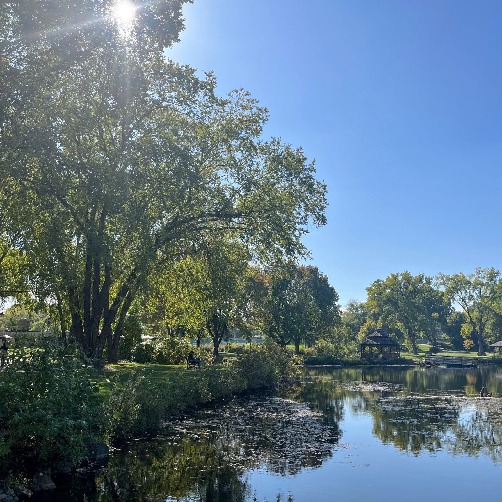
Lakeview Park Loop:
Distance: 1 mile
Parking and trail access: Lakeview Park (6300 Mendota Avenue)
Located across the street from Lake Mendota is Lakeview Park, Middleton’s largest community park, which offers stunning views and fantastic amenities. The park’s paved path loops a pond and winds through beautiful, lush trees. Users can find multiple benches, fishing docks and a wooden gazebo along the path.
Blackhawk Path:
Distance: 4.5 miles
Parking and trail access: Marshall Park (2101 Allen Boulevard) or Lakeview Park (6300 Mendota Avenue)
This is a popular path for bikers. It travels along University Avenue and eventually connects to other paved trails in Madison. It’s a great way to venture into the State’s capital from Middleton. The western half of the trail winds through tree-filled neighborhoods; as it continues east, you’ll see more shops and restaurants.
Modified November 8, 2023